Saturday, July 21, 2012

Detours

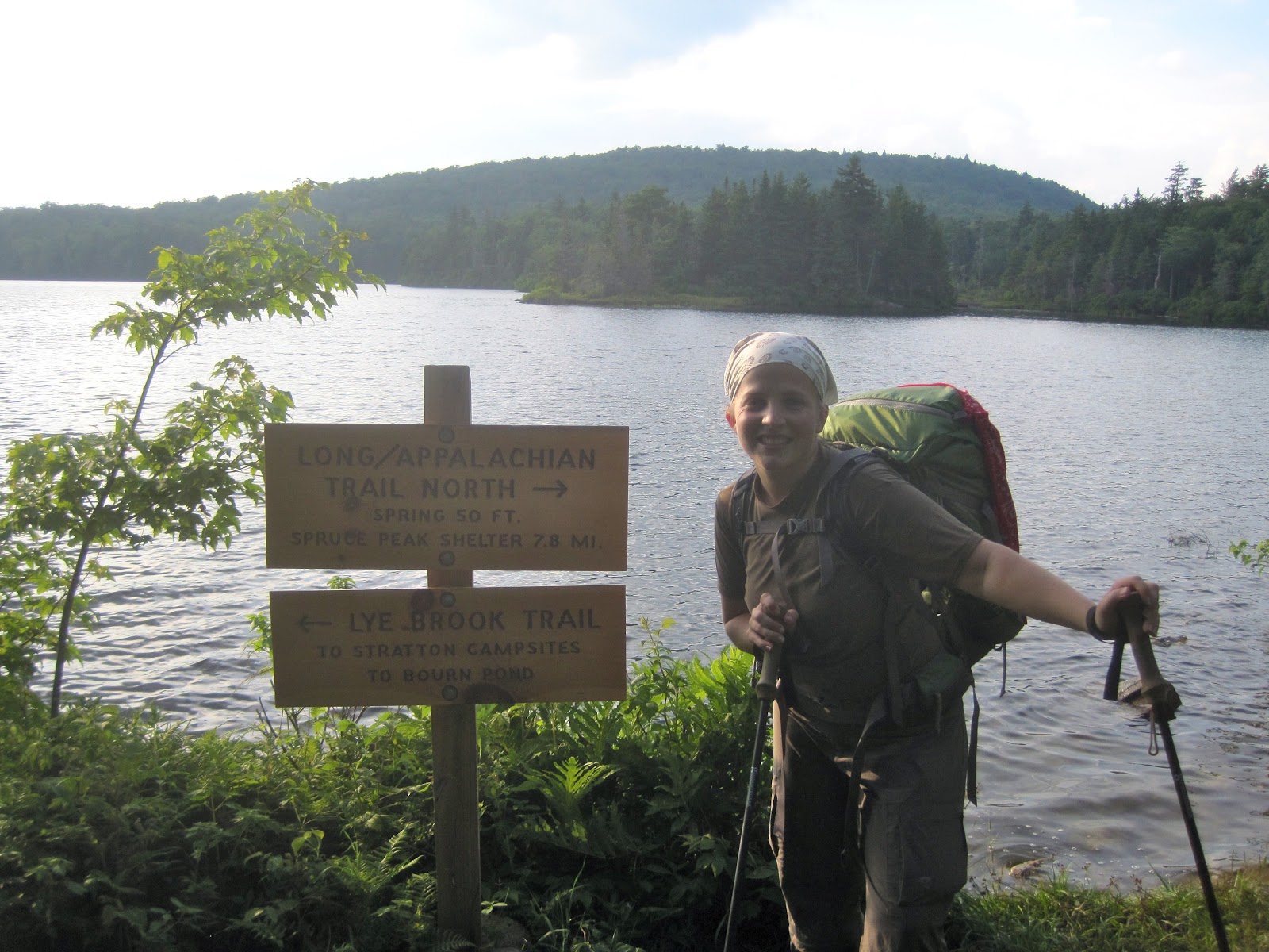
View of the day
    Today took us about 13 miles further on the Vermont AT.  It was another beautiful day and we climbed a couple of big hills.  We also passed over several streams, and one in particular that was quite large and had people swimming in it and a swinging bridge over it. 

Crossing a river on a swing bridge.

      We made really good time on our hike today, until we got to the last couple of miles.  Then we realized that we had an unexpected surprise to deal with.  About 2 miles of trail in this area was closed in October 2011 due to Hurricane Irene, and it still isn't open yet.  So we had to follow a rather long detour on country roads around the closed trail.  We actually ended up passing Trail Angel on our detour and she followed and walked with us for the last bit of our hike.  Looks like you have to be ready for anything on the AT.  Even dealing with last year's hurricanes!

AT Hurricane Detour

Friday, July 20, 2012

A Good Day for Pictures

Lake with a view.
   Today we hiked about 9 miles in the most perfect of Vermont weather.  I don't have any riveting stories to tell today.  It was a beautiful, relaxing day on the AT with Amicus.  We saw a few people on the trail today and passed a very nice campsite that even had a permanent caretaker living there (his campsite was complete with a gas grill...how he got that 2 miles into the woods, I'll never know).  We finished the days hike at a decent hour and I got to have steak for dinner.  Rather than make up more stories, I'll show you some pictures of the treasures we found on the trail today.
 
World's tiniest frog

Cairn Garden...or eerie sacred hiker burial ground. 

Cliffhugger.  Best view of the day!  

Thursday, July 19, 2012

Rocky Peaks and Piney Forests

Vermont sky and mountains before our hike for the day. 
    Today we hiked a little over 12 more miles of the AT here in Vermont.  We took our time this morning and enjoyed a really wonderful homemade breakfast (I am a huge fan of this sharp cheddar cheese Vermont is famous for) before setting out.  The day couldn't have been more perfect.  It was much cooler today than it has been, with barely a cloud in the sky and a nice breeze.  The hiking was relatively gentle, through thick pine forests.  I've been happy to see the pine forests here.  So many of the east coast pine forests have been destroyed by foreign beetles.  There is evidence of such destruction here.  But there is also evidence of hearty new growth, which makes me happy.  There were lots of pretty streams and bridges and boardwalks on the hike today as well.

AT waterfall and bridge.  
    Even though most of the hike was in the pines, we had a couple of opportunities for great views.  For one of them, we climbed up a sheer, rocky mountainside to get to the summit, but when we turned around to look behind us, we got a real treat.  One of the best views of this section of AT.  Followed up by some delicious ribs for dinner at a local restaurant.  Another great AT day.

Amazing view from a rocky VT summit.

Wednesday, July 18, 2012

Hitting the Slopes

At the top of the mountain. 
    Today we only hiked a short distance - a little over 5 miles - since we had to relocate our "base camp" further north after our big 40 mile push.  Our hike may have been short, but it was very interesting.  It was cloudy and cool with a nice breeze.  On the way up the mountain, about a mile from the top, we stopped on a rock for a water break only to discover 4 snakes who had claimed the rock before us.  First come, first serve I say.  So we moved on.  When we got to the top of the mountain, we spent some time exploring the summit, since the mountain doubles as a ski slope in the wintertime.

Wish we'd taken the chair lift up!
    There were chair lifts and signs all over the summit, labeling the various ski trails.  It's fun to think that during the winter, people can actually snow ski down little bits of the AT.  The view at the top was wonderful.  Apparently there used to be a fire tower at the summit, from which you could see 5 states on a clear day, but the fire tower was taken down this year because it was no longer safe.  We finished our hiking for the day in plenty of time to relocate with Trail Angel to a beautiful Vermont B&B (although "base camp" location for the past week has been wonderful too - the innkeepers were so very nice, and it turned out that their son in law is a doctor at my medical school, and had actually lectured to my class this year...What a wonderful, small world!)  We got to enjoy a relaxing afternoon and a delicious dinner, which I was so glad for after a few days of camping.  I was especially glad to be inside for the night, since being outside for two nights in a row left me covered in mosquito bites.  I think I'll be refilling my big spray soon.

View of the VT hills from the top of the "slopes."

Tuesday, July 17, 2012

More Milestones and Nights in the Woods

Officially past the 1600 mile mark!
    Over the past three days, we've hiked about 40 miles and spent two nights camping.  On Sunday, we celebrated passing the 1600 mile mark.  I'm still blown away when I think about the mileage.  Even though we haven't done it all at once, it makes me smile to see those numbers tick by.  I still have trouble believing we've actually hiked this far.  It's something truly special.  On our first day out, we hiked a little over 14 miles.  It started raining in the late afternoon, and we walked in the drizzle for a couple of hours.  The rain wasn't too heavy, and it cooled things off and filled up the very dry streams, so I was glad to have it.  We camped in the vicinity of a shelter.  A very nice shelter with an expansive view of the mountains.  I was glad that we had taken our sturdier tent and some hot food.  I fell asleep listening to the sound of the rain on the roof of the tent.
        The next day was quite an accomplishment for us.  We hiked a little over 17 miles.  In the world of Nano and Amicus, that's covering a lot of ground.  We climbed Southern Vermont's highest peak and even ventured up into the abandoned fire tower at the summit (one of two fire towers we climbed over this stretch).

Fire Tower view.
    We also passed a very large lake, which I was tempted to take a swim in, but didn't, since we needed to press on.  While filling up our water bottles, a young man who we'd seen on the trail a couple of times over the past day caught up to us, and while small-talking about the difficulty of summiting the mountain behind us, extolled the virtues of "retroblazing" (otherwise known as taking the old/non-official trail *around* the mountain instead of *over* it) and "iron blazing" (walking along railroad tracks).  I learned some new vocabulary, but I remain true to my AT-purist views.  I am bound and determined to pass every single official white blaze between Georgia and Maine.
  
Break by the Lake
    After 17+ miles of hiking, I was very ready to be finished for the day.  We found a great campsite by a river and had Ramen Noodles on a rock in the middle of the water.  This river was the first river I've seen on the whole AT which didn't look right.  It was an odd yellowish brown color.  We didn't drink from it, but it made an excellent backdrop to our camp.
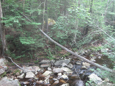
Camp Nano, deluxe version.
   On our third day of this push, we hiked over 8 miles.  Amazingly, we did it in about 4.5 hours.  Amicus said that I was so motivated to get to the rendezvous point that I went into my special, extra-fast "we're almost to the truck" hiking mode.  One special moment of the morning - we saw a bear!  After we'd been hiking for about a mile, we saw it on the right side of the trail.  It was a very small black bear, and it ran away as fast as it could.  But it was a very special sight.  We made good time and got to the rendezvous point in time for a big, tasty burger lunch and a little exploring around the beautiful small towns in the area.  We even got to feed some gigantic trout and pick up some local organic goodies at a farmer's market for dinner.  Hiking 40 miles over three days is not easy for Nano, but it was so much fun to spend a longer stretch of time in the woods and experience more of what the Vermont AT has to offer.

A very happy Nano rendezvousing with her Trail Angel after 40 miles.  

Saturday, July 14, 2012

Welcome to Vermont!

Entering Vermont!
    Over the past two days, we hiked about 19 miles and hit a couple of big milestones.  First of all, we completed another "statesworth" of hiking, crossing over from Massachusetts into Vermont.  That means that we have thus far hiked all of the AT in 11 states, with only 3 more (Vermont, New Hampshire and Maine) left to complete.  That feels pretty excellent.  Also, we broke out the big packs and did our first overnight on the trail for this jaunt on the AT.  We hiked a little over 14 miles on the first day, and about 4 the second.  

Hiking past a giant beaver dam.  We were actually hiking about a foot *below* the water level.  Those beavers are clever engineers! 
    We had more great weather for our overnight trek, though it was quite a bit hotter than it has been.  The creeks and streams are very, very low, if existent at all, due to the prolong dry spell the entire eastern half of the US seems to be experiencing right now, so we made sure to carry extra water.  The place we ended up making camp for the night was actually just uphill from a nice stream and we had our dinner by the water.
Riverside Dining.
    We made our camp for the night in the general vicinity of a shelter, though we didn't stay in the shelter itself.  I believe that except for the shelters in the Great Smoky Mountains National Park over Memorial Day, it was the most crowded shelter we've ever seen.  I'm still surprised by how many Northbound thru hikers are already up here in Vermont.  I commend them on their fleetness of foot.  In talking to them, they seem to average about 25 miles a day.  I pulled off 14 and some change, and I was beat and ready for camp.

Camp Nano
   Overnight, things cooled off pretty drastically, and I was glad I had my sleeping bag, which I had considered leaving behind in favor of a lighter, sheet-like "sleeping sack."  After some surprisingly good sleep (all sleep must seem good after you walk 14 miles), we woke up early and made it to our rendezvous point in time to meet Trail Angel for a delicious late breakfast of omelets at a local restaurant.  We were also able to clean up, do some exploring and enjoy both an AT documentary that was playing in a nearby town (complete with an appearance from one of the filmmakers) and a concert by an alternative loop-pedal musician.  Camping and culture - the AT has it all.

"The Green Tunnel" - pretty representative of the hiking we've been doing recently. 

Thursday, July 12, 2012

Down the Mountain

Good Morning from Mount Greylock.

      Today, after another pretty short hike, we made it down the North side of Mount Greylock.  Amicus and Trail Angel got some amazing pictures of sunrise from the summit, and we had homemade blueberry muffins at the lodge for breakfast.  I can't even begin to say how lucky we've been with the weather so far.  Today was yet another perfect hiking day thought it was a little warmer than it has been.

Leaving the summit. 
   
   The hiking was mostly downhill in the woods with a few vistas along the way.  It was a pretty steep descent with much of the trail covered in roots and rocks, so I was glad that it was dry.  We met a few people on the trail, most of whom seemed to be going up rather than down.  When we got to the base of the mountain we did a short road walk to meet up with Trail Angel.  Today, we spent the afternoon moving our "base camp" a little further north in preparation for next week's stretch of hiking.  We had lunch and dinner at really great local dives, which is one of our favorite parts of the "Trail Experience." I'm happy to have conquered both sides of Massachusetts's highest peak, and it looks like there's going to be some serious hiking done over the next few days, so stay tuned!

Enjoying a view on the descent of Greylock.